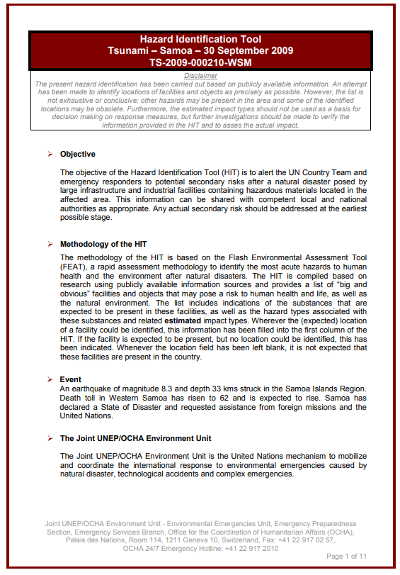
This hazard  identification tool (HIT) was prepared by the UN Environment/OCHA Joint Unit following an earthquake and tsunami in Samoa in 2009.
Following a request for assistance from the UN Resident Coordinator, an UNDAC team was deployed to Samoa in the aftermath of the earthquake and tsunami in September 2009. The JEU prepared a HIT. In addition, UNEP۪s Regional Office for Asia and the Pacific and the Post-Conflict and Disaster Management Branch and the JEU facilitated a joint rapid environmental assessment along with UNESCO and Conservation International. Significant environmental damage was identified including coastal erosion, salinization of coastal areas, damage caused by building debris, and pollution from solid waste and sewage in village areas. Among the recommendations of the mission report were: the preparation of a tsunami hazard zone map for the Samoa archipelago; a review of the national coastal hazard zone mapping assessment; a review of the content of the Coastal Infrastructure Management Plans (CIMP) and their implementation requirements.
Consult the document here.